Loading...
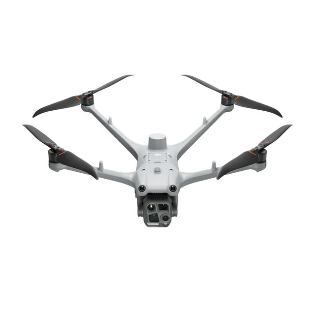
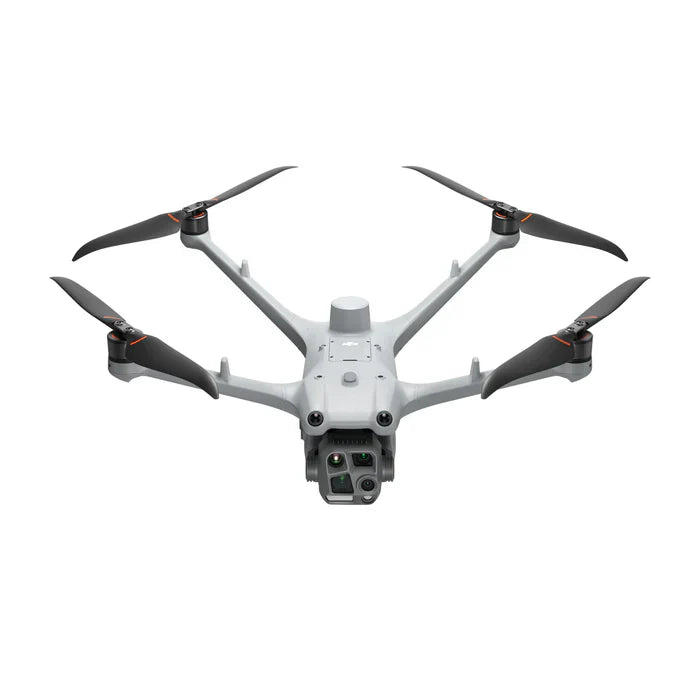
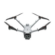
DJI Matrice 4TD Drone for Dock 3 | Infrared Thermal Camera Equipped
Regular price
$9,820.00
Unit price
/
Unavailable
Shipping calculated at checkout.
DJI Matrice 4TD Drone for Dock 3 | Infrared Thermal Camera Equipped is backordered and will ship as soon as it is back in stock.
DJI Matrice 4TD Drone for Dock 3 | Infrared Thermal Camera Equipped
Regular price
$9,820.00
Unit price
/
Unavailable
Product Description
The DJI Matrice 4TD are built for the DJI Dock 3, engineered to deliver longer flight times, enhanced reliability, and powerful imaging for professional operations. With multi-sensor payloads, obstacle avoidance, and rugged protection, these drones are designed to handle complex inspections, mapping, and public safety missions with ease.
Product Features
- Infrared Thermal Camera with 1280 × 1024 resolution
- NIR Auxiliary Light for enhanced night operations
- IR-Cut Filter + Night Scene Mode for full-color or B/W night vision
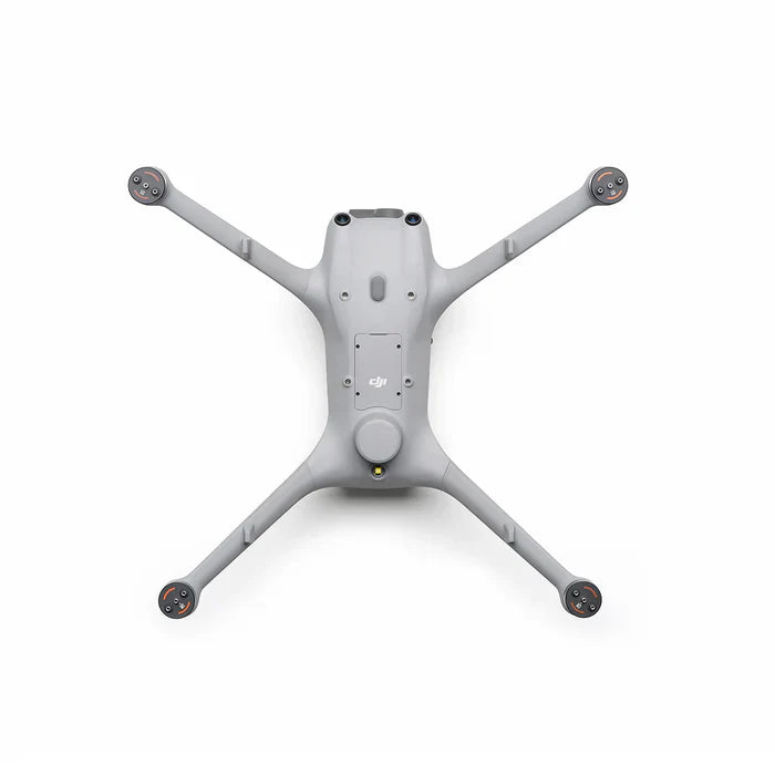
- Propellers: 1364F low-noise, anti-ice foldables
- RTK Module: Built-in for centimeter-level accuracy
Safety & Obstacle Sensing
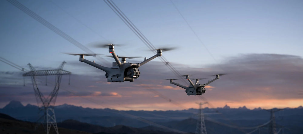
- Rotating LiDAR + mmWave Radar – Precision obstacle avoidance, even at 12mm wire detection
- Low-Light Obstacle Sensing – Four fisheye cameras ensure safety at night
- Enhanced Positioning – Reliable operation in complex power grids, substations, or urban environments
Smart Connectivity & Relay Function
- DJI RC Plus 2 Enterprise Controller – Standalone control with a bright, weatherproof 7" screen
- Seamless Airborne Relay – One drone acts as a relay to extend transmission for another, ideal for mountainous or remote SAR missions
Product Specifications
- Max Flight Time: 54 minutes (47 minutes hovering)
- Speed: Up to 21 m/s (Sport Mode)
- Altitude: 6,500 m max takeoff
- Wind Resistance: Up to 12 m/s
- IP55 Protection: Dust- and water-resistant for all-weather operation
- Operating Temperature: -20° to 50° C (-4° to 122° F
- Weight: 1850 g (with battery, props, SD card)
- Max Takeoff Weight: 2090 g
- Wheelbase: 498.5 mm
- Range: Up to 43 km flight distance / 10 km operation radius
Software Compatibility
- High-Precision Mapping: Supports 5-direction oblique + 3-direction orthophoto photography.
- Smart 3D Capture Routes: Efficient terrain modeling and slope inspections.
- DJI FlightHub 2 Integration: Real-time cloud-based mapping, mission planning, and multi-user livestreaming.
- Automated Repetitive Inspections: Save flight routes and leverage AI Spot-Check for consistent, high-quality inspections.
Production Applications
- Public Safety – Search & rescue, emergency response, crowd monitoring.
- Power & Utilities – Power line inspections, substations, grid maintenance.
-
Infrastructure – Roads, bridges, water conservancy, and construction.
-
Energy – Oil, gas, and renewable energy site monitoring.
-
Surveying & GIS – High-precision mapping, topography, and 3D modeling.
- Maritime – Coastal monitoring and offshore inspections.