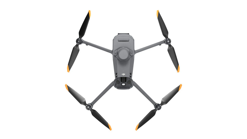
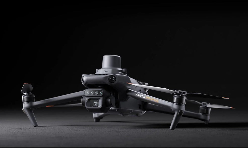
DJI Mavic 3 Enterprise Drone - 3M, Multispectral
DJI Mavic 3 Enterprise Drone - 3M, Multispectral is backordered and will ship as soon as it is back in stock.
DJI Mavic 3 Enterprise Drone - 3M, Multispectral
Product Description
The DJI Mavic 3 Multispectral is engineered to reveal what the human eye can’t. By combining a high-resolution RGB camera with a powerful multispectral imaging system, it delivers the precision data needed for high-efficiency crop and land management. Built for smart agricultural workflows, the Mavic 3M provides accurate, timely insights in a compact and portable form factor.
Key Features
- Integrated RTK module delivers centimeter-level positioning; accurate aerial survey data – without ground control points
- O3 transmission system: two transmitting and four receiving signals
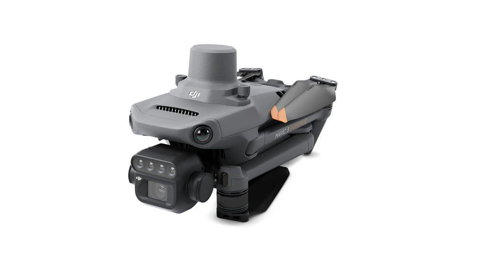
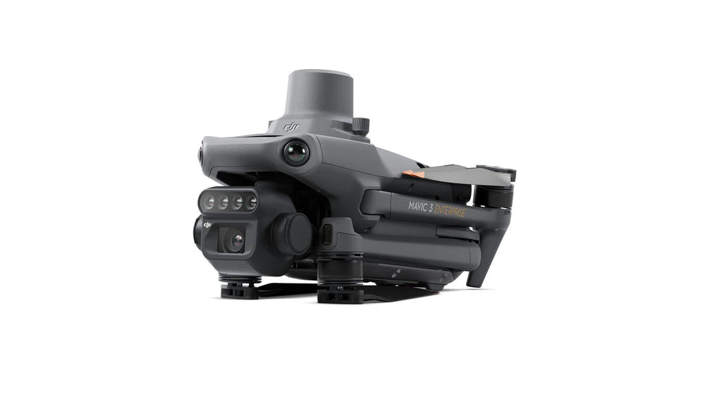
- Compact and portable design
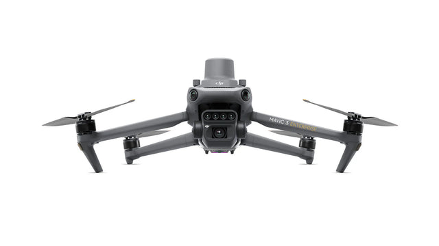
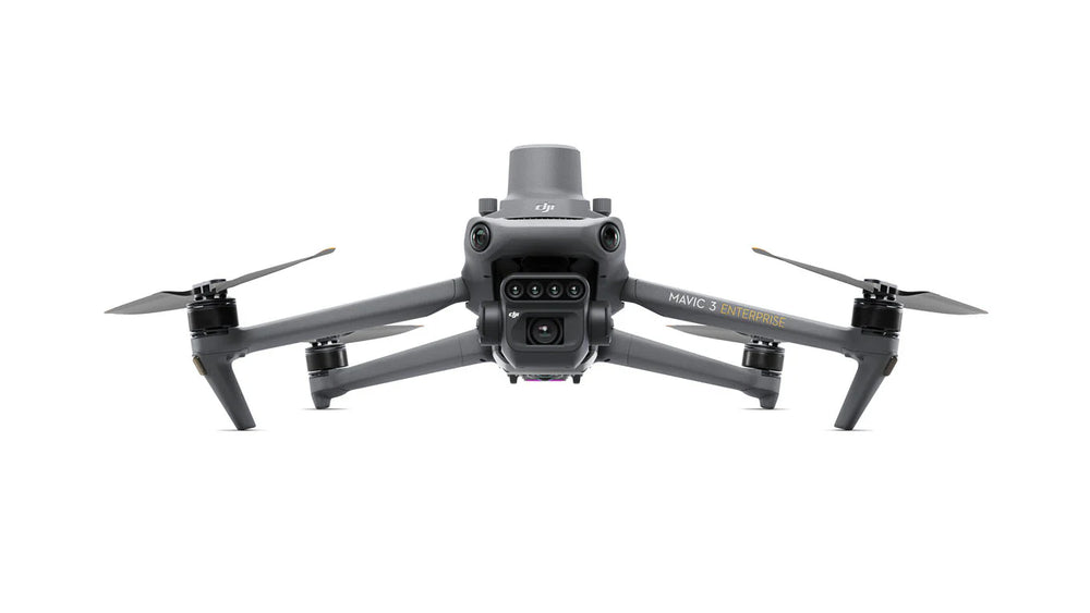
- Integrated multispectral and RGB cameras
- Safe, stable flight performance
- Centimeter-level positioning
- Highly efficient aerial surveying
-
Sunlight Sensor - built-in sunlight sensor captures solar irradiance, embeds it into the image files, enables light compensation during 2D reconstruction, resulting in more accurate NDVI results and better consistency
What's Included
DJI Mavic 3 Multispectral – Package Contents
| Description | Quantity |
|---|---|
| DJI Mavic 3M Aircraft with RTK Module, & SD Card | 1 |
| Pro Controller | 1 |
| Propellor Pairs | 3 |
| Mavic 3 Intelligent Flight Battery | 1 |
| Carrying Case | 1 |
| USB-C to USB-C Cable | 1 |
| Power Cable | 1 |
| USB-C Cable | 1 |
| Screwdriver | 1 |
| Manuals |
Product Specifications
Specification Video Description
- Transmission range: Maximum 15km
- 43 minutes cruise flight time
- 200 hectares of mapping coverage in a single flight
- 100W Battery Charging Hub for high-efficiency charging
- 88W fast charging for the aircraft
- RGB camera - 20MP
- Four 5MP Multispectral cameras (Green, Red, Red Edge, and Near Infrared)
RGB Camera Specs:
- 4/3 CMOS, 20MP image sensor
- 1/2000s mechanical shutter speed
- 0.7s high-speed burst (RGB mode)
Multispectral Camera Bands:
- Near-infrared (NIR): 860 nm ± 26 nm
- Red edge (RE): 730 nm ± 16 nm
- Red (R): 650 nm ± 16 nm
- Green (G): 560 nm ± 16 nm
Product Applications
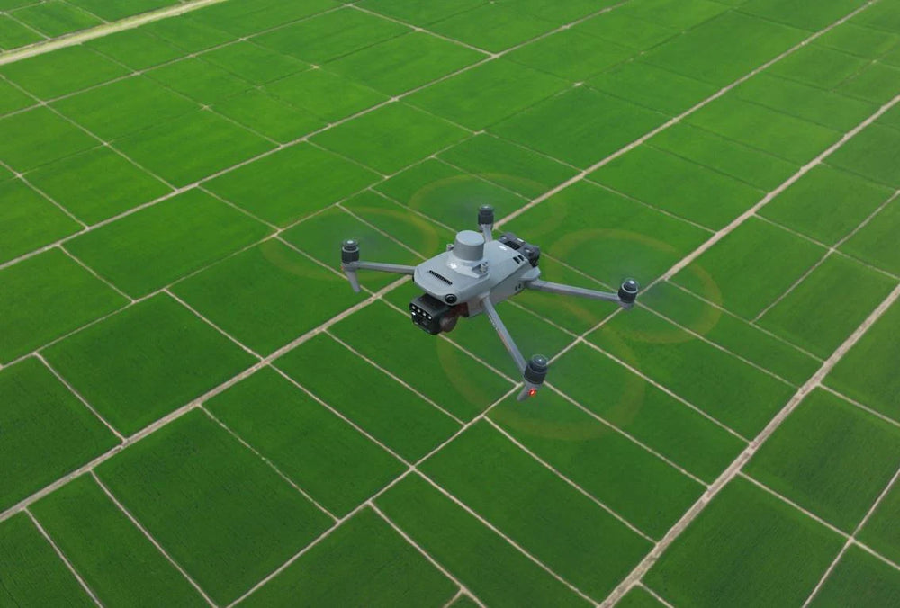
- Intelligent Field Scouting - Automatically conducts field inspections and uploads images via 4G to the DJI SmartFarm Platform. Detects anomalies such as poor emergence, weed pressure, or crop lodging, and uses AI identification to support real-time agronomic decision making.
- Environmental & Natural Resource Monitoring - Also suitable for broader surveys such as forest distribution assessment, urban green area mapping, and water enrichment monitoring.
- Omnidirectional obstacle sensing via wide-FOV sensors
- Terrain-follow aerial surveying for sloped landscapes
- Orchard Mapping - Performs terrain-following aerial surveys in orchards, reconstructs high-resolution maps, identifies tree positions, and generates 3D operation routes for agricultural drones.
- Variable Rate Application Guidance - Captures multispectral images for crops such as rice, cotton, and potatoes. Generates vegetation indices (e.g., NDVI) and prescription maps to enable variable-rate application, cutting costs, improving yields, and minimizing waste.