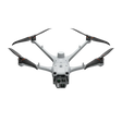
DJI Matrice 4D Drone for Dock 3
Regular price
$5,500.00
Unit price
/
Unavailable
Shipping calculated at checkout.
DJI Matrice 4D Drone for Dock 3 is backordered and will ship as soon as it is back in stock.
Product Description
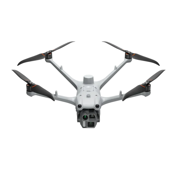
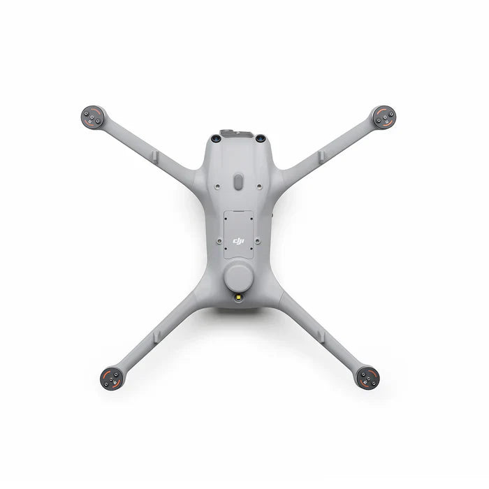
The DJI Matrice 4D is built for the DJI Dock 3, engineered to deliver longer flight times, enhanced reliability, and powerful imaging for professional operations. With multi-sensor payloads, obstacle avoidance, and rugged protection, these drones are designed to handle complex inspections, mapping, and public safety missions with ease.
Key Features
- Wide-Angle Camera: 20MP, 4/3 CMOS with mechanical shutter
- Medium Tele Camera: 48MP, 70mm equivalent
- Tele Camera: 48MP, 168mm equivalent
- Laser Range Finder: Accurate up to 1800m
- Propellers: 1364F low-noise, anti-ice foldables
- RTK Module: Built-in for centimeter-level accuracy
Smart Connectivity & Relay Function
- DJI RC Plus 2 Enterprise Controller – Standalone control with a bright, weatherproof 7" screen
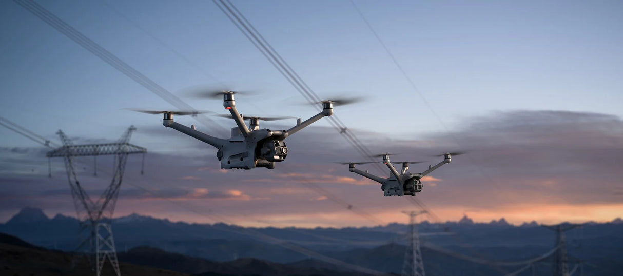
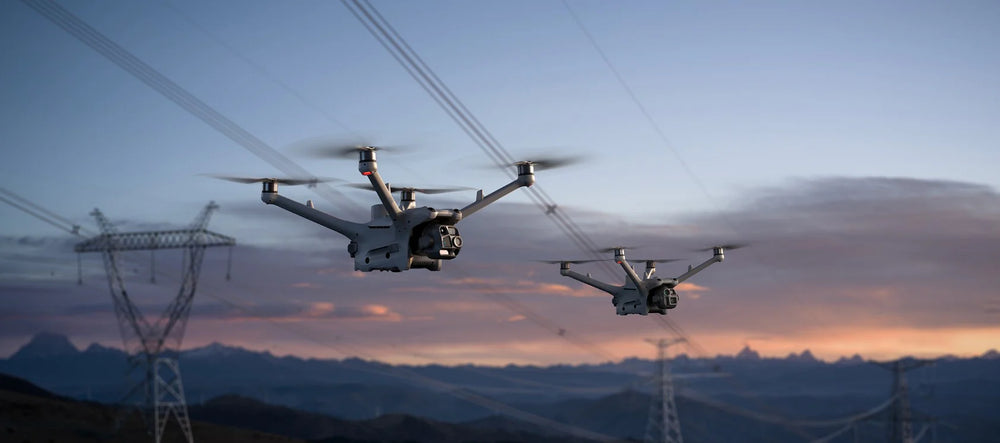
- Seamless Airborne Relay – One drone acts as a relay to extend transmission for another, ideal for mountainous or remote SAR missions
Safety & Obstacle Sensing
- Rotating LiDAR + mmWave Radar – Precision obstacle avoidance, even at 12mm wire detection
- Low-Light Obstacle Sensing – Four fisheye cameras ensure safety at night
- Enhanced Positioning – Reliable operation in complex power grids, substations, or urban environments
What's Included
| Description | Quantity |
|---|---|
| Matrice 4D Aircraft (4D Series Flight Battery Purchased Separately) | 1 |
| CW Low-Noise Anti-Ice Propellers (Pair) | 1 |
| CCW Low-Noise Anti-Ice Propellers (Pair) | 1 |
| Screws and Washers | 1 |
Product Specifications
- Max Flight Time: 54 minutes (47 minutes hovering)
- Speed: Up to 21 m/s (Sport Mode)
- Altitude: 6,500 m max takeoff
- Wind Resistance: Up to 12 m/s
- IP55 Protection: Dust- and water-resistant for all-weather operation
- Operating Temperature: -20° to 50° C (-4° to 122° F)
- Weight: 1850 g (with battery, props, SD card)
- Max Takeoff Weight: 2090 g
- Wheelbase: 498.5 mm
- Range: Up to 43 km flight distance / 10 km operation radius
Software Compatibility
- High-Precision Mapping: Supports 5-direction oblique + 3-direction orthophoto photography
- Smart 3D Capture Routes: Efficient terrain modeling and slope inspections
- Automated Repetitive Inspections: Save flight routes and leverage AI Spot-Check for consistent, high-quality inspections
Production Applications
- Public Safety – Search & rescue, emergency response, crowd monitoring
- Power & Utilities – Power line inspections, substations, grid maintenance
- Infrastructure – Roads, bridges, water conservancy, and construction
- Energy – Oil, gas, and renewable energy site monitoring
- Surveying & GIS – High-precision mapping, topography, and 3D modeling
- Maritime – Coastal monitoring and offshore inspections

