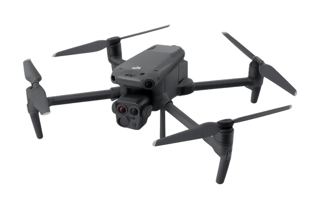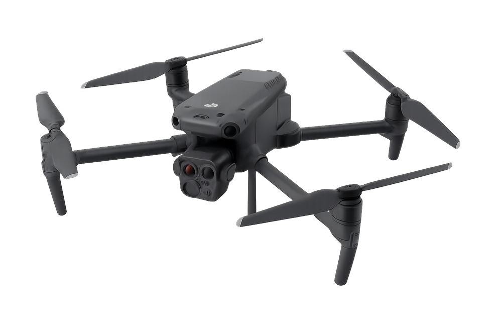
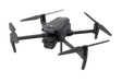
DJI Matrice 4T | Thermal Multi-Sensor Enterprise Drone
DJI Matrice 4T | Thermal Multi-Sensor Enterprise Drone is backordered and will ship as soon as it is back in stock.
DJI Matrice 4T | Thermal Multi-Sensor Enterprise Drone
Product Description
The Matrice 4T Thermo combines thermal imaging, AI intelligence, and multi-sensor clarity—delivering the ultimate enterprise drone solution for all-weather, day-and-night operations. It is built for critical missions where seeing beyond the visible spectrum makes all the difference. Equipped with thermal, zoom, wide-angle, and laser range finder sensors, plus AI-powered features, it delivers unmatched efficiency for inspections, emergency response, and public safety operations.
Key Features
- LiDAR + mmWave Radar: Wire-level (12mm) obstacle sensing at speeds up to 15 m/s
- Low-Light Fisheye Lenses: Advanced obstacle detection in dark environments
- Full-Color Night Vision & IR-Cut Mode – Clear imaging 24/7
- Foreground Stabilization: Crystal-clear telephoto imaging, even at 10x zoom
- Electronic Dehazing: Enhanced clarity in fog, haze, or humidity
- Cruise Control: Reduce pilot fatigue on long-distance flights
- Real-Time Terrain Following – Smooth, consistent mapping accuracy
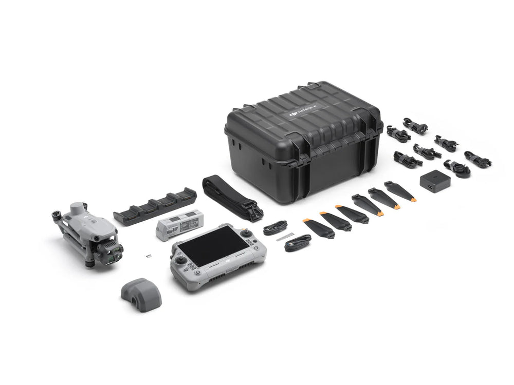
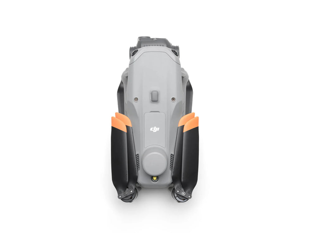
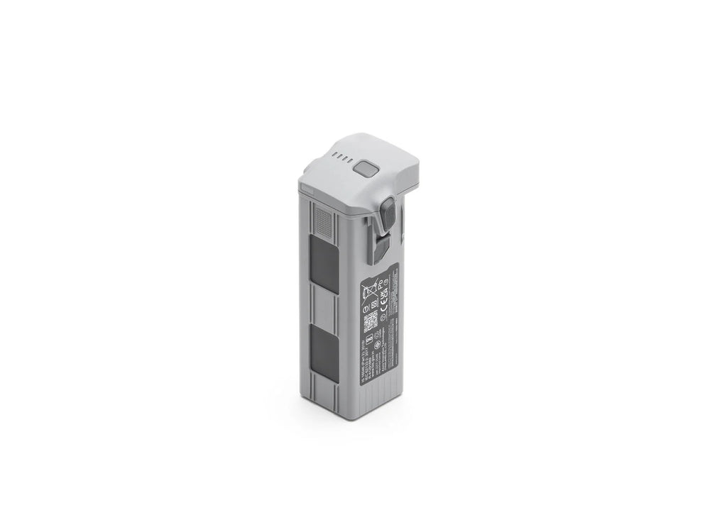
- DJI Matrice 4 Series - Additional Flight Batteries
Precision Mapping & Surveying
- 5-Directional Oblique Capture – Faster 3D modeling in a single flight
- 3-Directional Ortho Capture – Cover up to 2.8 km² in one mission
- 0.5s Interval Shooting – High-speed aerial surveying from multiple angles
Extended Connectivity & Relay
- Seamless Airborne Relay: One drone acts as a relay for another in mountainous or obstructed areas, extending mission range.
- O4 Enterprise Transmission: Stable HD video feed up to 25 km, with 20MB/s download speeds for faster uploads and data handling.
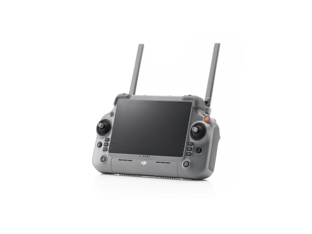
- DJI RC Plus 2 Enterprise: Weatherproof, high-bright display controller with customizable quick-access functions
Product Specifications
- Max Flight Time: 54 minutes (47 minutes hover)
- Max Speed: 21 m/s (Sport Mode)
- Wind Resistance: 12 m/s
- Takeoff Altitude: Up to 6500 m
- Ingress Protection: IP55 dust & water resistance
- Operating Temps: -20° to 50°C (-4° to 122°F)
- Thermal Camera: 640×512 resolution, super-resolution up to 1280×1024, High-Res mode for detailed heat mapping
- Wide Camera: 48MP, 1/1.3” CMOS, 24mm equivalent
- Medium Tele Camera: 48MP, 70mm equivalent
- Telephoto Camera: 48MP, 168mm equivalent with up to 250m inspection detail
- Laser Rangefinder: Accurate measurements up to 1800m
-
NIR Auxiliary Light: Covers up to 100m for enhanced night operations
Inspection-Grade Imaging
- Medium Tele (10m clarity) – Detect cracks, pins, or fine details in infrastructure
- Super Telephoto (250m reach) – Read signage and capture details from afar
Software Compatibility
- DJI Pilot 2 – redesigned interface for intuitive mission planning and flight control
- DJI FlightHub 2 – fleet management, live annotations, and cloud mapping missions
- DJI Terra – Full-featured software for 2D/3D mapping and mission planning
Production Applications
- Firefighting – locate hotspots and monitor fire spread
- Roof & Building Inspections – reveal leaks, insulation issues, or structural defects
- Public Safety & Emergency Response – Faster rescues, safer missions
- Power & Utilities – Inspect powerlines, substations, grids with precision
- Construction & Infrastructure – Roads, bridges, and asset inspections
- Oil, Gas & Renewables – Reduce downtime with safe, efficient site monitoring
- Surveying & GIS – High-accuracy maps and 3D modeling
- Forestry & Water Conservancy – Environmental and conservation monitoring