Loading...
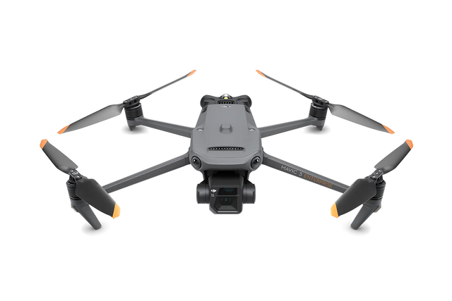
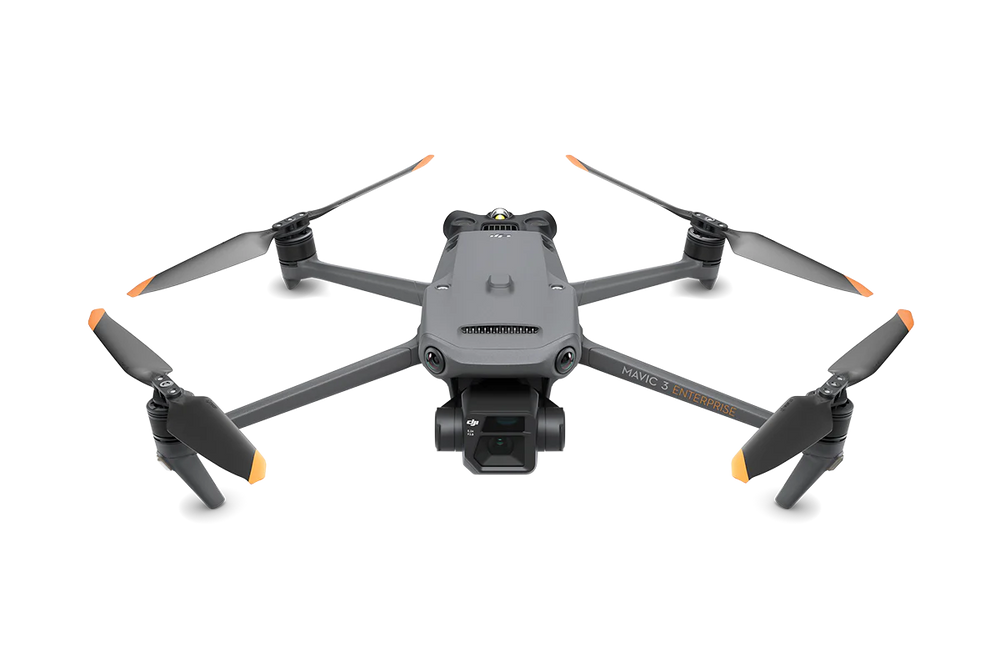
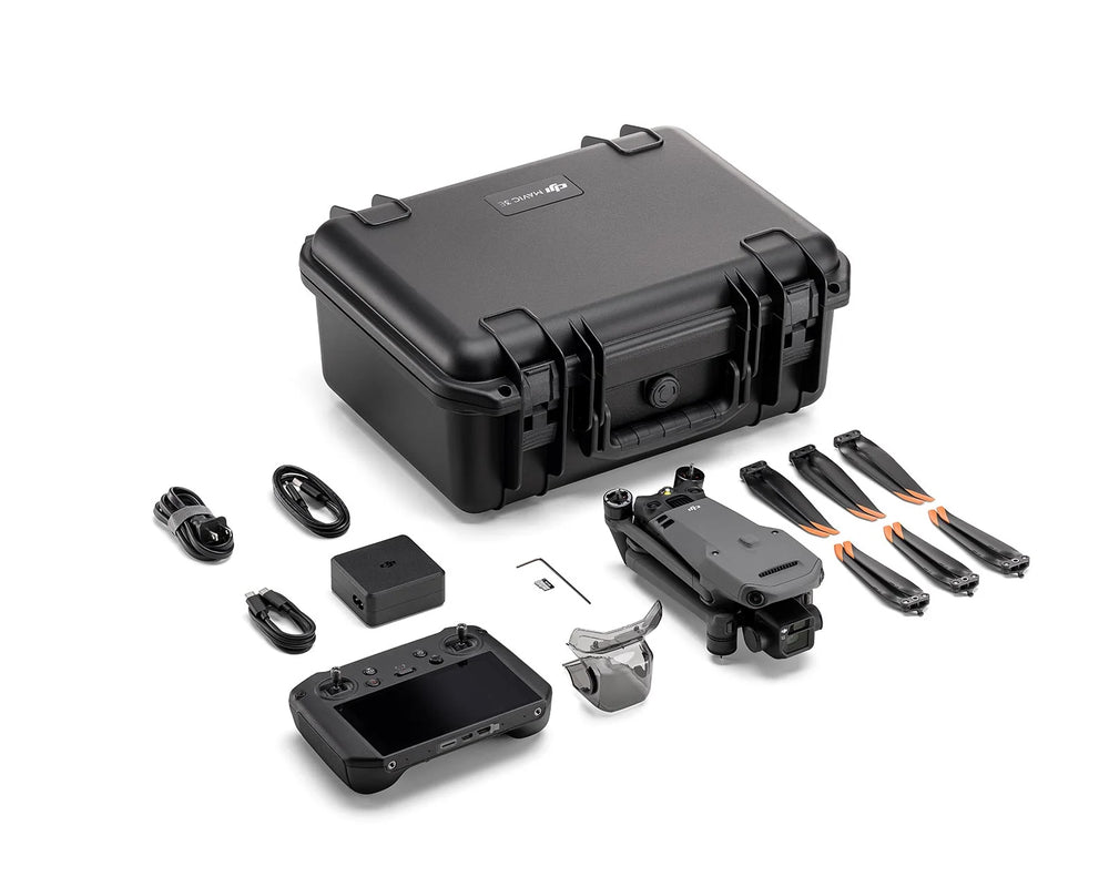
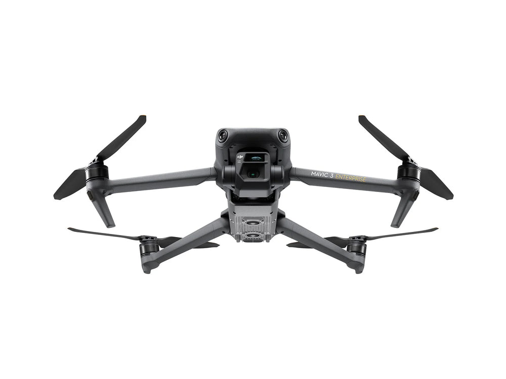
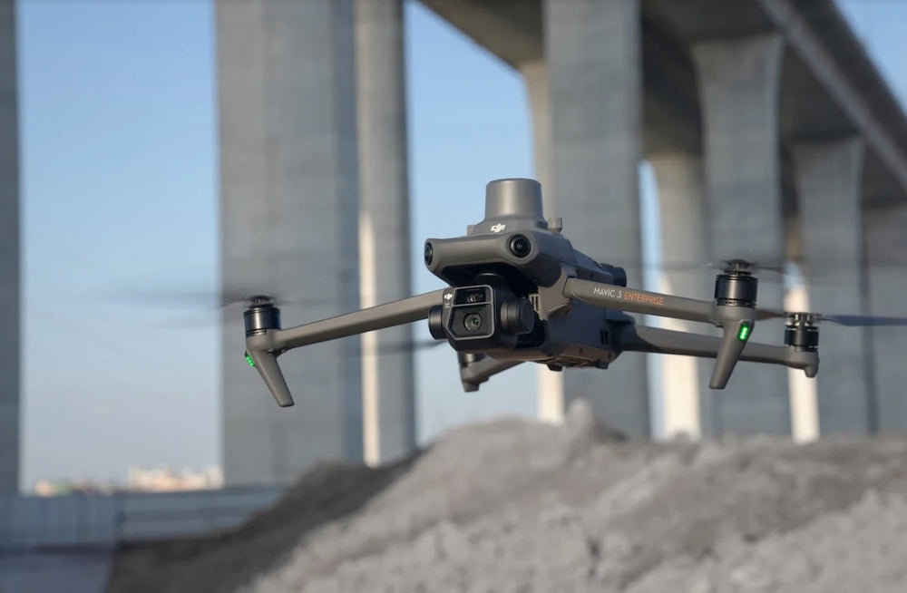
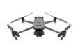
DJI Mavic 3 Enterprise Drone
Regular price
$4,950.00
Unit price
/
Unavailable
Shipping calculated at checkout.
DJI Mavic 3 Enterprise Drone is backordered and will ship as soon as it is back in stock.
DJI Mavic 3 Enterprise Drone
Regular price
$4,950.00
Unit price
/
Unavailable
Product Description
The DJI Mavic 3 Enterprise Series raises the bar for small commercial drones. Equipped with a mechanical shutter, 56× zoom camera, and RTK module for centimeter-level accuracy, it’s built for mapping, inspections, and enterprise-grade operations.
Key Features
- 12MP zoom camera; 56× Hybrid Zoom Camera for detailed inspections
- RTK Module – sub-inch accuracy without heavy reliance on GCPs
- Omnidirectional Obstacle Avoidance + APAS 5.0 for safer flying
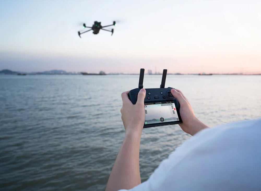
- O3 Enterprise Transmission – stable, long-range connectivity
- Integrated Loudspeaker for Communication
Product Specifications
DJI Mavic 3E
- Wide: 4/3 CMOS, 20MP, Mechanical Shutter
- Tele: 162mm Eq., 12MP, 56× Hybrid Zoom
DJI Mavic 3T
- Wide: 24mm Eq., 48MP
- Zoom: 162mm Eq., 12MP, 56× Hybrid Zoom
- Thermal: 61° DFOV, 40mm Eq., 640 × 512 resolution
Split-Screen Zoom View – Thermal and zoom feeds display side-by-side at up to 28× zoom, simplifying thermal analysis.
Max Flight Time – 45 Minutes, covering 2 km² per mission
- Survey Faster – 0.7s capture interval for rapid mapping missions
- Low-Light Optimized – larger 3.3μm pixels with dedicated night mode
- Endurance & Efficiency – 100W hub or 88W direct charging for quick turnaround
Software Compatibility
- DJI Pilot 2 – redesigned interface for intuitive mission planning and flight control
- DJI FlightHub 2 – fleet management, live annotations, and cloud mapping
- DJI Terra – full mapping workflow from planning to 2D/3D model processing
- Data Security You Can Trust; Local Data Mode | One-Tap Data Wipe | AES-256 Encryption | Cloud API Support
- DJI Thermal Analysis Tool 3.0
- Cloud API Access
Product Applications
- Firefighting – locate hotspots and monitor fire spread
-
Search & Rescue – detect missing persons in difficult terrain or low light
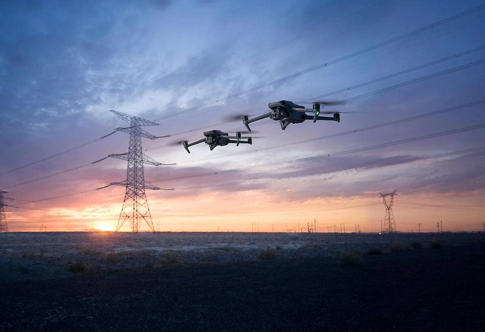
- Utility Inspections – analyze power lines, substations, and solar panels
- Roof & Building Inspections – reveal leaks, insulation issues, or structural defects
- Precision Agriculture – monitor crop health and irrigation efficiency
- Security & Surveying – real-time surveillance and monitoring
- Cell Tower & Bridge Inspections – Capture detailed data without risking human safety.
-
Wildlife & Resource Protection – Observe animals and habitats with minimal disturbance.