
Loading...
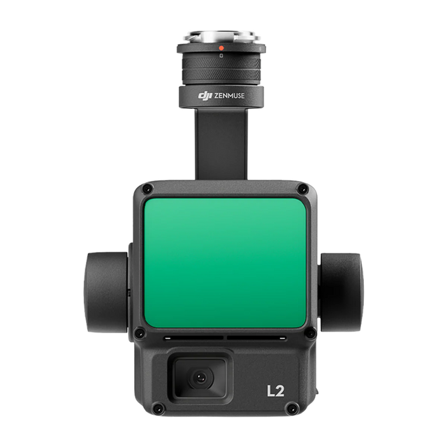
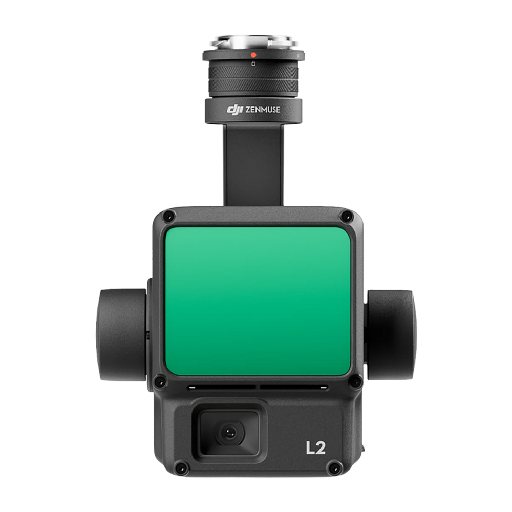
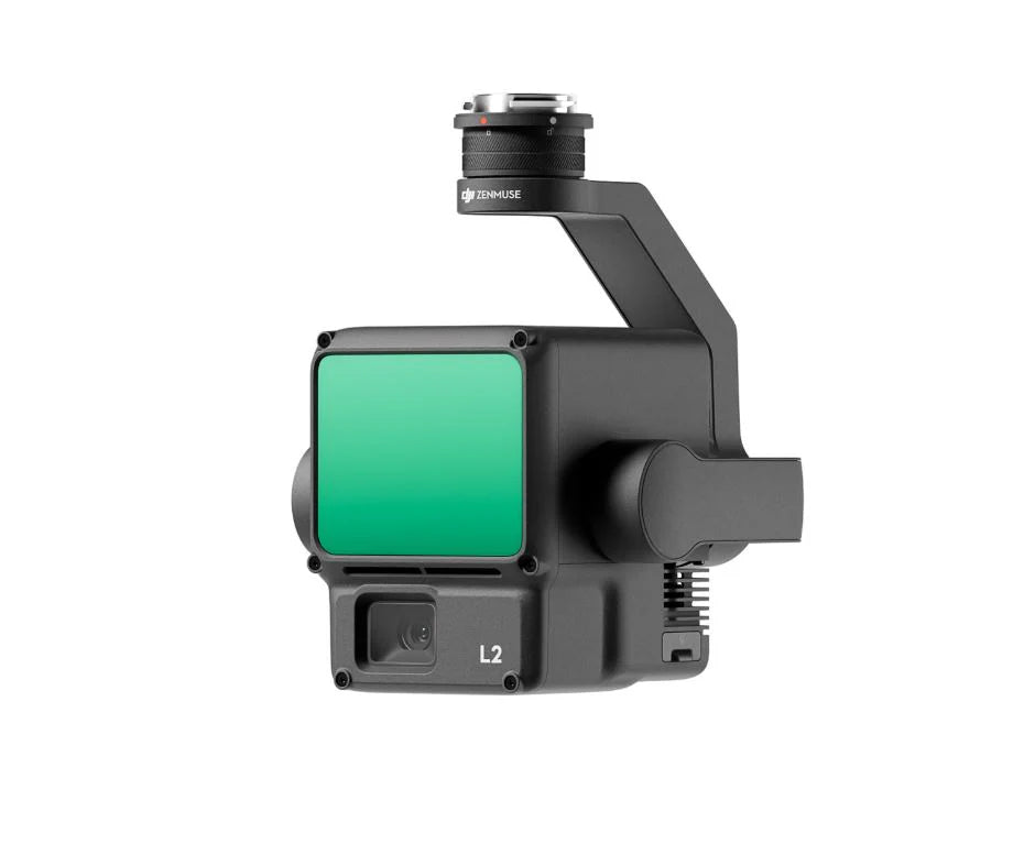
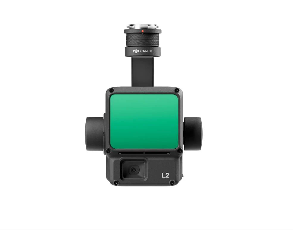
DJI Zenmuse L2 | High-Precision LiDAR & Aerial Mapping System
Regular price
$15,490.00
Unit price
/
Unavailable
Shipping calculated at checkout.
DJI Zenmuse L2 | High-Precision LiDAR & Aerial Mapping System is backordered and will ship as soon as it is back in stock.
DJI Zenmuse L2 | High-Precision LiDAR & Aerial Mapping System
Regular price
$15,490.00
Unit price
/
Unavailable
Product Description
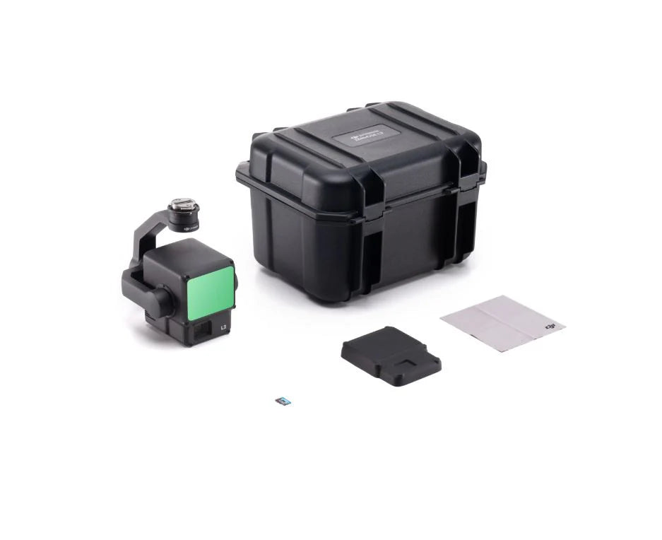
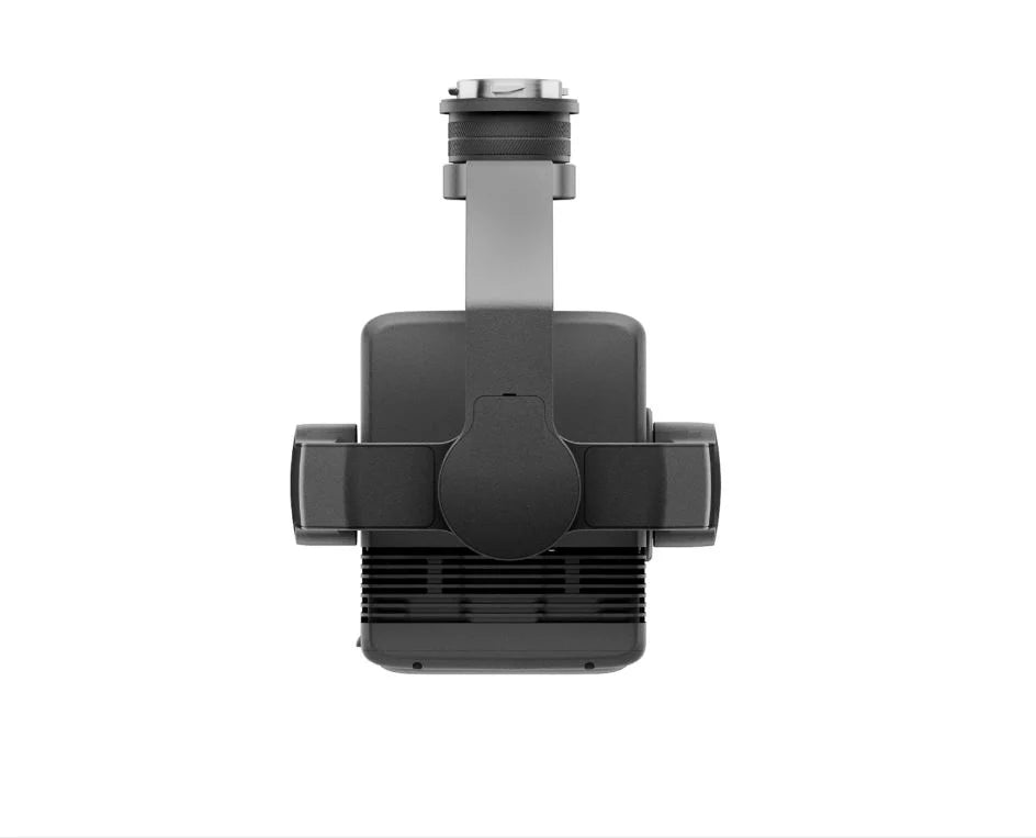
Unlock professional-grade 3D data capture with the DJI Zenmuse L2, an all-in-one LiDAR and RGB mapping system built for DJI enterprise drones. Combining a frame-based LiDAR sensor, high-accuracy IMU, and 4/3 CMOS RGB camera, the L2 delivers centimeter-level precision and rapid point cloud generation — even in dense vegetation.
Key Benefits
- Live Point Cloud View + One-Click Processing (DJI Terra)
- 5 Returns for Dense Vegetation Penetration
- No IMU Warm-Up Required – Ready Immediately
Product Specifications
- 4 cm Vertical / 5 cm Horizontal Accuracy
- Up to 2.5 km² of Coverage per Flight
- Frame-Based LiDAR + 240,000 pts/s Point Cloud Rate
Software Compatibility
- DJI Terra – full mapping workflow from planning to 2D/3D model processing